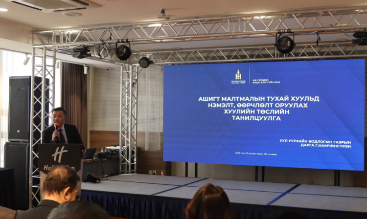
 ARIUNTUYA.N
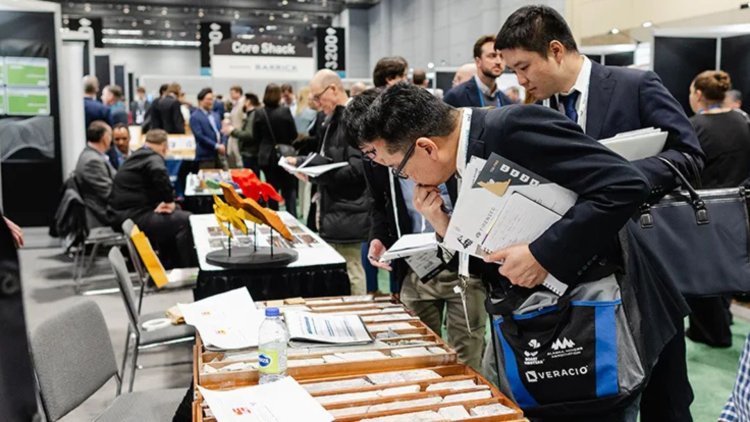
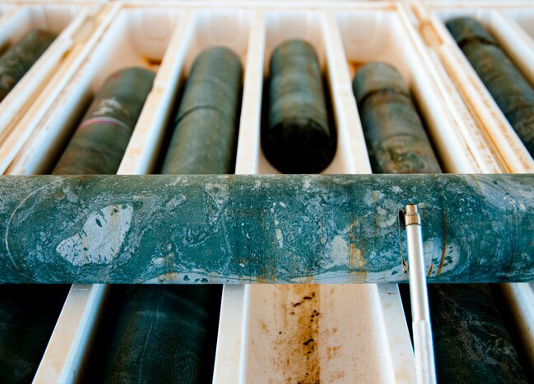
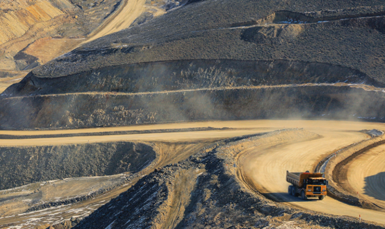
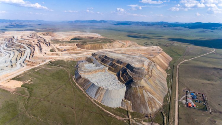
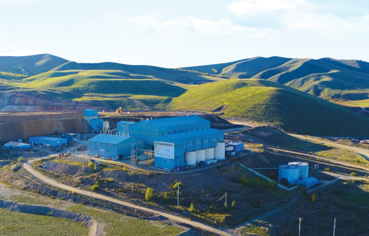
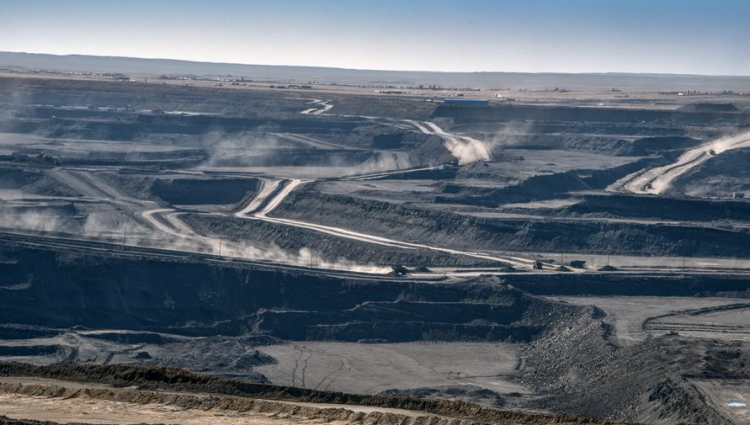
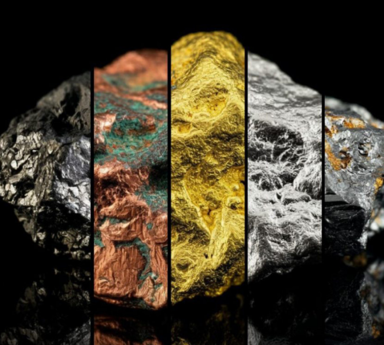
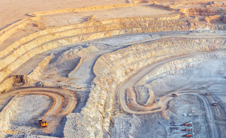
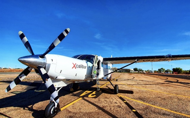
Australia's Xcalibur company, a global leader and innovator in aerial geophysical research technology, executed Mongolia's inaugural aerial electromagnetic survey last year. Commissioned by the MMHI, the company conducted the "Khanbogd-2023" pilot project, covering an area of 954 square kilometers in the Khanbogd and Bayan-Ovoo soums of Umnugovi province. The survey employed the electromagnetic wave method, a pioneering technique in Mongolia capable of mapping geological formations at depths ranging from 400 to 1000 meters, facilitating the detection of ore bodies.
 This method enabled rapid and comprehensive geological mapping across vast territories, aiding in the identification of mineral distribution patterns and prospective exploration zones. Additionally, it generated 3D maps detailing geological formations, fractures, underground water, and soil composition. Investors value this cuttingedge methodology for its ability to yield accurate and reliable data within tight timelines, meeting the rigorous standards of exploration companies. The adoption of such advanced exploration policies, commonplace in mining powerhouses like Australia, Canada, and South Africa, was a revelation for investors.
Subsequently, on "Mongolia Day," it was announced that an international tender worth MNT 40 billion would be issued for modern basic geological research in Mongolia, leveraging similar methods and technologies.
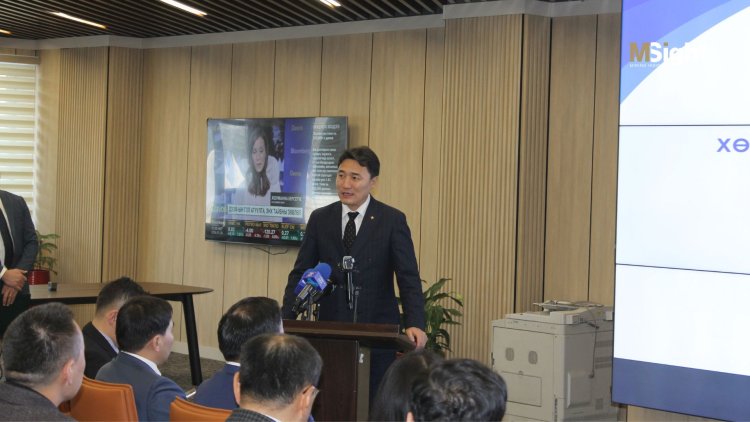
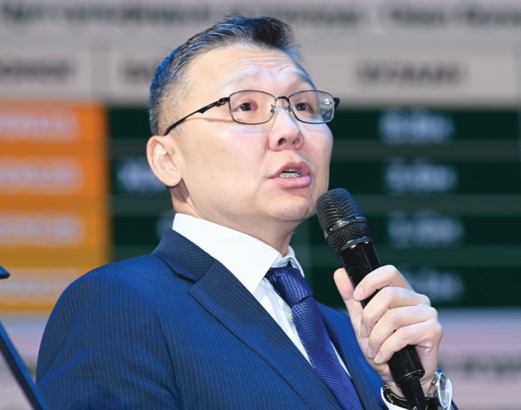
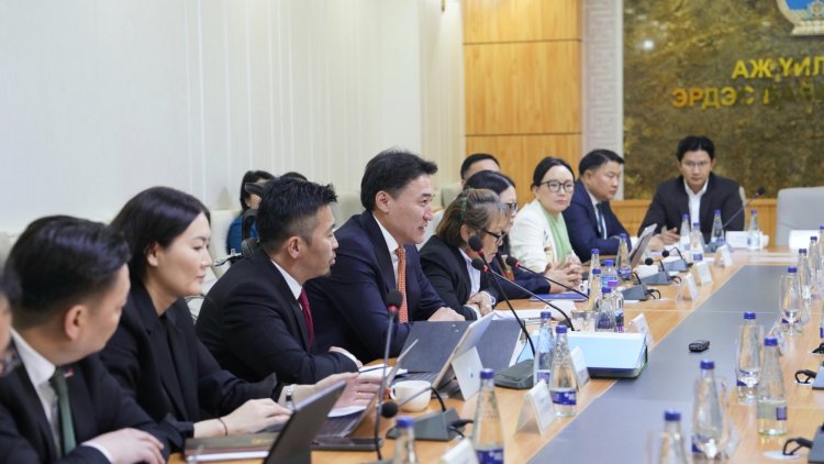
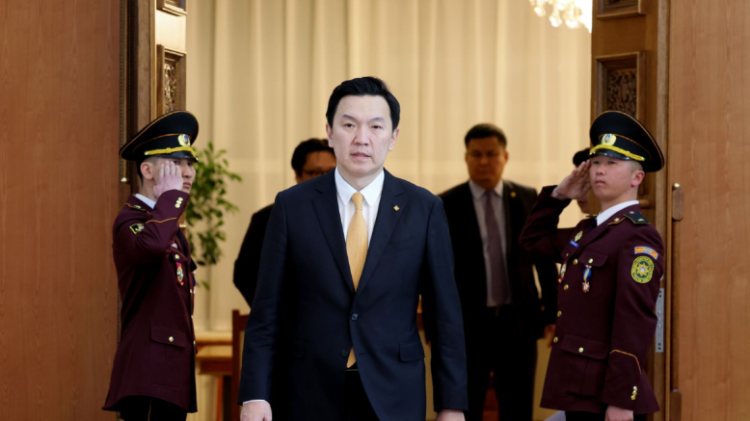
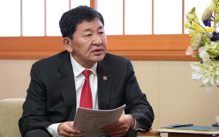
During the event, Ganbaatar. J, the Minister of Mining and Heavy Industry, visited the exploration technology companies' exhibition area, personally extending invitations to participate in the tender. Notable participants included Xcalibur and Canadian Air Geophysical Survey SGL-Sander Geophysics.
Mining Insight Magazine, March 2024 №3 (028)